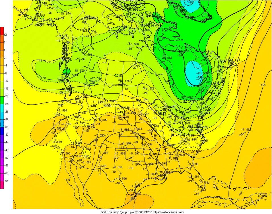
850mb | 700mb | 500mb | 300mb | 250mb | Jetstream Analysis

Data Information: The upper air maps are plotted using radiosonde which measure upper air conditions over a particular location. This includes plots of data on the standard mandatory and height levels, contours of various upper air parameters and a set of sounding plots for a number of Canadian sites. The maps are updated once every 12 hours at approximately 0645 / 1845 UTC (0045 / 1245 EST)